

- お役立ち記事
- Basics and implementation methods of self-position estimation technology for application to autonomous mobile robots and automatic driving

スタートアップから大手まで。
調達・受発注をAIで標準化。
相見積比較も進捗管理もAIが下支え。取引先は招待で完全無料。

Basics and implementation methods of self-position estimation technology for application to autonomous mobile robots and automatic driving

目次
Understanding Self-Position Estimation Technology
Self-position estimation technology is a critical component in the field of robotics and autonomous vehicles.
This technology enables robots and vehicles to understand their own location within a given space.
Knowing their position allows these machines to navigate through environments, whether it be a factory, a farm, or a city street, without human intervention.
The need for accurate self-position estimation arises from the requirement for precision in tasks executed by autonomous mobile robots and vehicles.
Whether it’s delivering packages, harvesting crops, or transporting people, knowing the precise location helps in executing these tasks efficiently and safely.
Autonomous navigation can only occur when accurate self-position information is available.
This ensures that navigation commands result in safe movement and interaction within various environments.
Principles of Self-Position Estimation
Self-position estimation, at its core, involves using a set of sensors and technology to determine a robot or vehicle’s location with respect to a reference point or map.
The position is usually determined in terms of coordinates, such as latitude and longitude, or within a mapped space.
There are several methods and technologies in use today for self-position estimation.
These include GPS, Lidar, odometry, and inertial navigation systems.
Each of these technologies has its strengths and weaknesses, and often, a combination of several technologies provides the most accurate results.
GPS (Global Positioning System)
GPS is one of the most widely known and used methods for determining position.
Satellites orbiting the Earth transmit signals that are received by a GPS receiver in the robot or vehicle.
By calculating the time it takes for each signal to arrive, the device can triangulate its exact location on the planet.
While GPS can provide accurate global positioning, its effectiveness can be compromised in certain environments.
Urban areas with tall buildings, dense forests, or even indoor locations can cause signal interruptions.
Lidar (Light Detection and Ranging)
Lidar uses the reflection of laser light to measure distances between the sensor and surrounding objects.
By scanning the environment in this way, Lidar systems can create highly accurate maps and determine precise positions.
This technology is particularly useful in environments where GPS signals are weak or unavailable.
Lidar provides detailed information on the surrounding environment, making it essential for applications in obstacle detection and avoidance.
Odometry
Odometry is the use of data from motion sensors to estimate change in position over time.
In robots, this is often accomplished through wheel encoders, which count the number of wheel rotations to calculate distance traveled.
While odometry is helpful for short-term position estimation, its accuracy diminishes over time due to wheel slippage or uneven terrain.
Combining odometry with other systems like GPS or Lidar can improve overall accuracy.
Inertial Navigation Systems (INS)
Inertial navigation systems use accelerometers and gyroscopes to estimate position, orientation, and velocity.
These systems are independent of external signals like those used in GPS, making them useful in environments where such signals may not be available.
Despite their independence from external signals, INS systems can experience drift over time, leading to cumulative errors in position estimation.
They are often used in conjunction with other navigation systems to correct these errors.
Implementing Self-Position Estimation
Implementing self-position estimation in autonomous mobile robots and vehicles involves selecting appropriate technologies and integrating them into a cohesive system.
Each application will have specific requirements and constraints that dictate which technologies are most suitable.
Challenges in Implementation
One of the primary challenges in implementation is ensuring accuracy across a variety of environments.
This requires a robust system that can adapt and compensate for conditions like signal loss, sensor errors, and environmental obstacles.
Integration of multiple sensing systems often provides the best approach.
For example, using GPS for broad outdoor positioning with Lidar or vision systems for detailed mapping can compensate for the weaknesses of a single system.
Calibration and Testing
Before deployment, self-position estimation systems require thorough calibration and testing.
This process ensures that all sensors are aligned and functioning correctly, and that the data they provide is accurate and reliable.
Testing under a range of conditions is crucial to ensure robustness.
For instance, testing in both day and night, as well as in different weather conditions, can help identify and correct potential issues.
Applications and Future Prospects
Self-position estimation technology is pivotal in various applications beyond autonomous vehicles.
Robotics in warehouses, agriculture, and even drones for delivery services rely heavily on accurate position estimation to function effectively.
As technology advances, new methods and improvements to existing technologies continue to emerge.
Developments in machine learning and artificial intelligence promise further enhancements in accuracy and reliability, indicating a bright future for self-position estimation technologies.
In conclusion, self-position estimation plays a critical role in the advancement of autonomous systems.
Understanding the basics and effective implementation methods allows for safer, more efficient, and innovative applications in the ever-evolving field of robotics and autonomous vehicles.
この記事の理解を深める
無料ホワイトペーパーをプレゼント
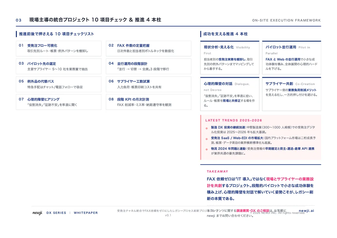
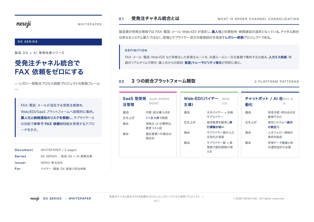
製造業の現場で使える実務資料(PDF)を無料でお届けします。"こんな資料が届きます" ↓ 下のボタンからどうぞ。
PRODUCT — 製造業向け 調達・受発注クラウド
この記事の課題、
newji で解決しませんか?
newji は、製造業の調達・受発注に特化したクラウド/AIエージェント。見積依頼・発注書作成・進捗管理・承認をひとつの画面に集約し、AIが比較と異常検知を担当。最後の「GO」だけ人が押す仕組みです。
- 見積〜発注〜納期を一元管理。催促・転記のムダをゼロに
- AIが相見積もり比較と異常検知。あなたは判断だけに集中
- 取引先は「招待」で完全無料。自社コストだけで取引先ごとデジタル化
※ 取引先から招待された企業様は完全無料でご利用いただけます



 調達購買アウトソーシング
 OEM/ODM 生産委託
 NEWJI DX
 受発注AIエージェント