

- お役立ち記事
- Basics, high-precision positioning technology and applications of GPS, GNSS, and QZSS

Basics, high-precision positioning technology and applications of GPS, GNSS, and QZSS

目次
Understanding GPS, GNSS, and QZSS
The world we live in today is intricately connected through advanced technology and precise positioning systems.
Among the most significant technological advancements in this field are GPS, GNSS, and QZSS.
These systems play a crucial role in various applications, from navigation to timing services.
At its core, GPS, or Global Positioning System, is a satellite-based navigation system developed by the United States.
It allows users to determine their precise location anywhere on Earth.
GPS functions through a constellation of at least 24 satellites orbiting the Earth, continuously sending signals.
These signals are received by GPS devices, which calculate location by determining the distance to each satellite.
GNSS, or Global Navigation Satellite System, is a broader term encompassing all satellite navigation systems.
This includes the U.S. GPS system, but also others like Russia’s GLONASS, Europe’s Galileo, and China’s BeiDou.
GNSS provides higher accuracy and reliability as it uses multiple satellite constellations for positioning.
Japan’s Quasi-Zenith Satellite System (QZSS) is a regional navigation satellite system.
It complements GPS for accuracy and reliability, primarily focused on providing services across the Asia-Oceania region.
QZSS enhances positioning services, especially in urban areas where buildings can obstruct GPS signals.
The Basics of High-Precision Positioning
High-precision positioning is crucial for several modern applications.
These include autonomous vehicles, aviation, agriculture, and geospatial surveying.
Traditional GPS provides accurate positioning within a few meters.
However, high-precision positioning technologies improve accuracy to a few centimeters.
One primary method to achieve high-precision positioning is Differential GNSS (DGNSS).
This technique uses a network of fixed, ground-based reference stations.
These stations broadcast the difference between their known locations and the positions indicated by the satellites.
Users then apply this data to correct their positions.
Another critical technology is Real-Time Kinematic (RTK) positioning.
RTK involves the use of carrier-phase measurements for precise location calculations.
It requires a base station set up at a known location and one or more mobile units, or “rovers.”
The base station communicates corrections to the rovers, allowing for centimeter-level accuracy in real time.
Precision Point Positioning (PPP) is yet another advanced technique.
Unlike RTK, PPP does not rely on a base station network.
Instead, it uses precise satellite orbit and clock data to correct positioning errors, providing high accuracy on a global scale.
Applications of GPS, GNSS, and QZSS
The applications of GPS, GNSS, and QZSS are vast and varied.
In daily life, navigation is one of the most common uses.
From smartphones to dedicated GPS devices, these technologies help people find their way efficiently.
In agriculture, high-precision GNSS-equipped machinery aids precision farming.
Farmers can perform tasks like planting, fertilizing, and harvesting with enhanced accuracy.
This reduces waste and increases productivity.
The aviation industry also benefits significantly from these technologies.
GNSS provides accurate and reliable navigation data essential for flight safety and air traffic management.
It ensures that aircraft can navigate globally without the need for overhauls of ground-based navigational aids.
In civil engineering and construction, high-precision GNSS supports surveying and machine control.
Surveyors use it for mapping and measuring land, while construction machinery employs GNSS for tasks like grading and leveling.
This improves efficiency and reduces human error.
Emergency response teams rely on accurate GNSS data for dispatching resources and routing during crises.
This precision enables quicker response times, potentially saving lives.
Challenges and Future Prospects
Despite the many advantages, there are challenges in achieving high-precision positioning.
One key issue is signal obstruction.
In urban canyons or dense forests, buildings and foliage can block or reflect satellite signals, leading to inaccuracies.
Systems like QZSS attempt to address these challenges by providing additional signals to overcome obstructions.
Another challenge is ensuring data security and resilience against interference.
As dependency on GNSS technology increases, it is crucial to safeguard these systems from jamming and spoofing.
Ongoing research and development aim to enhance the security features of these technologies.
The future of GPS, GNSS, and QZSS looks promising with continuous innovation.
Next-generation satellite systems are expected to offer improved accuracy, reduced latency, and enhanced coverage.
These advancements will further support the growing demand for precise positioning in diverse fields.
As autonomous vehicles and smart city applications expand, the importance of reliable high-precision GNSS systems will only increase.
Investments in research and development are essential to ensure the sustainability and advancement of these technologies.
In conclusion, GPS, GNSS, and QZSS are pivotal in providing accurate positioning services across the globe.
Their integration into various industries highlights their significance in our modern world.
As technology advances, we can anticipate even greater accuracy and new applications, shaping the future of navigation and positioning.
この記事の理解を深める
無料ホワイトペーパーをプレゼント
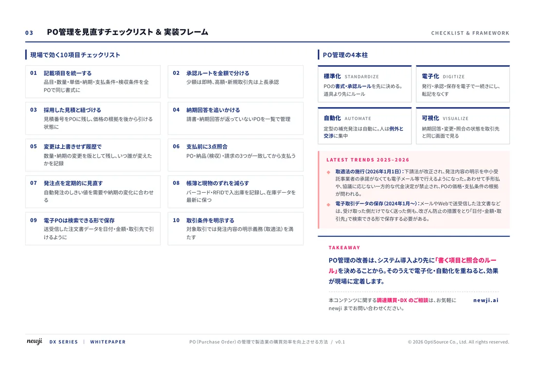
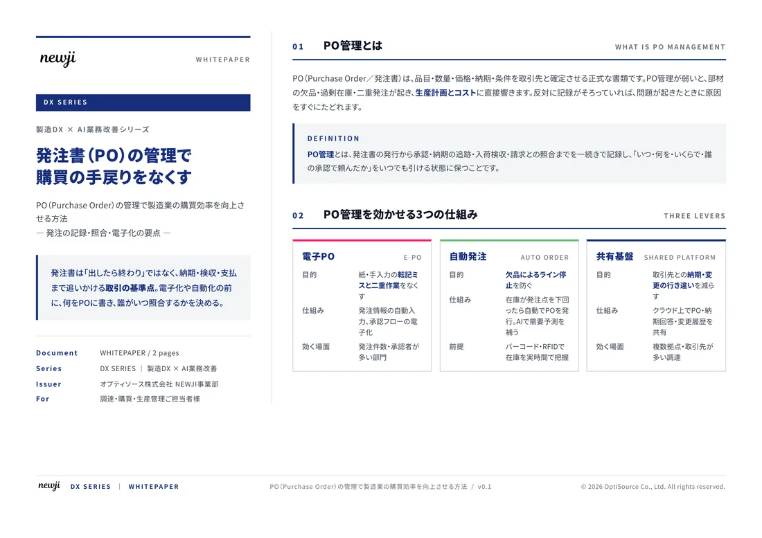
製造業の現場で使える実務資料(PDF)を無料でお届けします。"こんな資料が届きます" ↓ 下のボタンからどうぞ。
FREE DOCUMENT — サービス資料(PDF・無料)
製造業の見積・受発注クラウド
「Newji one」とは
Newji one は、製造業の調達・受発注に特化したクラウド/AIエージェント。見積依頼・発注書作成・進捗管理・承認をひとつの画面に集約し、AIが比較と異常検知を担当。最後の「GO」だけ人が押す仕組みです。
▶ 製造業の見積・受発注クラウド「Newji one」を、資料で見る(PDF・無料)
- 見積〜発注〜納期を一元管理。催促・転記のムダをゼロに
- AIが相見積もり比較と異常検知。あなたは判断だけに集中
- 取引先は「招待」で完全無料。自社コストだけで取引先ごとデジタル化
※ 取引先から招待された企業様は完全無料でご利用いただけます


 NEWJI総研
 OEM/ODM 生産委託
 AI/DX支援
 見積・発注クラウド Newji one
受発注が増えるほど、入力・確認・催促が重くなる。
受発注管理を“仕組み化“して、ミスと工数を削減しませんか。
見積・発注・納期まで一元管理できます。