

- お役立ち記事
- Basics of GPS/GNSS, positioning error countermeasures, and accuracy improvement technology

その単価は妥当か。
AI が根拠付きで分析。
相見積の比較も発注も進捗管理も、ひとつの画面に。

Basics of GPS/GNSS, positioning error countermeasures, and accuracy improvement technology

目次
Understanding GPS/GNSS Basics
Global Positioning System (GPS) and Global Navigation Satellite System (GNSS) are essential technologies that allow us to determine precise locations anywhere on Earth.
While GPS is the American system, GNSS is a term encompassing various satellite systems from around the world, including Russia’s GLONASS, Europe’s Galileo, and China’s BeiDou.
These systems work by communicating with satellites orbiting the Earth, providing location and time information.
The basic principle involves satellites transmitting signals to a GPS or GNSS receiver.
With signals from at least four satellites, the receiver can calculate a user’s exact position, speed, and time.
This process is known as trilateration, where the intersection of the spheres from multiple satellites determines the position on Earth.
Positioning Errors in GPS/GNSS
Despite the precision of GPS/GNSS, various factors can cause positioning errors.
One common issue is atmospheric interference.
Signals travel through the Earth’s ionosphere and troposphere and can be delayed or bent due to varying atmospheric conditions, affecting accuracy.
Another source of error is multipath, which occurs when satellite signals bounce off surfaces like buildings or mountains before reaching the receiver.
This can lead to inaccurate readings as the receiver assumes that all signals have traveled a direct path from the satellite.
Clock discrepancies between satellite and receiver clocks also cause errors.
Satellites have atomic clocks for high precision, but even minor errors in synchronization can result in significant location inaccuracies.
Solar Activity and its Effect
Solar activity can introduce additional challenges.
Changes in solar radiation affect the ionosphere, leading to increased errors in signal timing and path.
During periods of high solar activity, such as solar flares, GPS/GNSS signals may suffer from increased disturbances.
Orbital Errors
Orbital errors refer to inaccuracies in the satellite’s reported location in space.
These errors can affect the precision of the calculated position on Earth.
While control stations regularly update satellite positions, the delay between these updates can introduce minor inaccuracies.
Countermeasures for Positioning Errors
To mitigate GPS/GNSS errors and improve accuracy, several methods and technologies have been developed.
Differential GPS (DGPS)
Differential GPS is one of the most common techniques.
It involves using a network of fixed ground-based reference stations.
These stations compare their known precise location with the GPS position to determine any discrepancies.
The reference stations calculate the error and send correction signals to nearby GPS receivers, improving their accuracy.
Real-Time Kinematic (RTK) Positioning
RTK positioning is another method that uses the phase of the signal carrier wave rather than the information content of the signal.
It provides highly accurate positioning, often within centimeters.
RTK systems require a base station and a rover to communicate corrections in real time to enhance the receiver’s position accuracy.
Using Multi-Constellation Receivers
Modern GNSS receivers are capable of utilizing multiple constellations (GPS, GLONASS, Galileo, BeiDou) simultaneously.
Using signals from different constellations increases the number of visible satellites, improving both accuracy and reliability.
This approach mitigates some limitations of relying on a single system, such as GPS.
Technologies to Improve GPS/GNSS Accuracy
As technology advances, several innovations have contributed to the increased accuracy of GPS/GNSS systems.
From software solutions to hardware improvements, these technologies offer continuous enhancements.
Precise Point Positioning (PPP)
Precise Point Positioning is a technique that uses advanced algorithms and satellite clock corrections to improve location accuracy without requiring nearby base stations.
PPP uses precise satellite data, such as clock corrections and orbital information, to enhance position calculations.
While slower to converge initially, PPP can provide accuracy on par with RTK for applications where centimeter-level precision is required.
Augmentation Systems
Satellite-based augmentation systems (SBAS) and ground-based augmentation systems (GBAS) provide additional corrections to GPS/GNSS signals.
SBAS uses additional satellites to broadcast integrity and correction information, while GBAS includes local ground stations to aid in corrections.
These systems are critical in applications demanding high reliability and accuracy, such as aviation.
Advanced Receivers and Antennas
Modern receivers and antennas are specifically designed to reduce errors.
Enhanced algorithms in receivers help detect and mitigate multipath issues.
High-quality antennas minimize signal reflection and distortion, contributing to more reliable position determinations.
The Future of GPS/GNSS
The future of GPS/GNSS looks promising, with ongoing advancements in technology.
Integration with other systems, such as inertial navigation systems, provides seamless operation in challenging environments where satellite signals are weak or unavailable.
Moreover, continuous satellite system upgrades promise better accuracy and more robust operations.
As the world becomes increasingly reliant on precise positioning for applications ranging from everyday navigation to autonomous vehicles and drones, the significance of improving GPS/GNSS cannot be understated.
With these advancements, the possibilities for further innovations are boundless, changing the way we interact with our world.
この記事の理解を深める
無料ホワイトペーパーをプレゼント
製造業の現場で使える実務資料(PDF)を無料でお届けします。"こんな資料が届きます" ↓ 下のボタンからどうぞ。
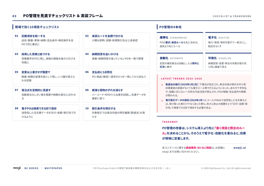
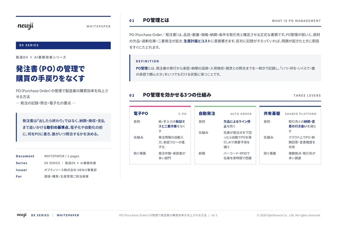
FREE DOCUMENT — サービス資料(PDF・無料)
製造業の見積・受発注クラウド
「Newji one」とは
Newji one は、製造業の調達・受発注に特化したクラウド/AIエージェント。見積依頼・発注書作成・進捗管理・承認をひとつの画面に集約し、AIが比較と異常検知を担当。最後の「GO」だけ人が押す仕組みです。
▶ 製造業の見積・受発注クラウド「Newji one」を、資料で見る(PDF・無料)
- 見積〜発注〜納期を一元管理。催促・転記のムダをゼロに
- AIが相見積もり比較と異常検知。あなたは判断だけに集中
- 取引先は「招待」で完全無料。自社コストだけで取引先ごとデジタル化
※ 取引先から招待された企業様は完全無料でご利用いただけます

 NEWJI総研
 OEM/ODM 生産委託
 AI/DX支援
 見積・発注クラウド Newji one
受発注が増えるほど、入力・確認・催促が重くなる。
受発注管理を“仕組み化“して、ミスと工数を削減しませんか。
見積・発注・納期まで一元管理できます。