

- お役立ち記事
- Digital map generation technology and self-position estimation technology and applications in urban autonomous driving

その単価は妥当か。
AI が根拠付きで分析。
相見積の比較も発注も進捗管理も、ひとつの画面に。

Digital map generation technology and self-position estimation technology and applications in urban autonomous driving

目次
Introduction to Urban Autonomous Driving
Urban autonomous driving is an exciting and rapidly evolving field in the world of technology and transportation.
This cutting-edge technology has the potential to transform how we travel in urban environments, making it safer, more efficient, and convenient.
A couple of critical components play a vital role in the success of autonomous vehicles: digital map generation technology and self-position estimation technology.
These technologies work together to enable autonomous vehicles to navigate complex cityscapes with ease.
Understanding Digital Map Generation Technology
Digital map generation technology is a fundamental element in the development of autonomous vehicles.
This technology involves the creation of highly accurate and detailed maps that provide a comprehensive view of the urban landscape.
These maps contain crucial information, such as road layouts, traffic signs, and the location of pedestrian crossings.
The ability to generate digital maps is achieved through a combination of data collected from various sources.
These sources include satellite imagery, street-level cameras, and LiDAR systems.
Satellite imagery provides a bird’s-eye view of the surrounding environment, while street-level cameras capture details of roads and infrastructure.
LiDAR systems, using laser pulses, collect precise measurements of objects and distances, creating a detailed three-dimensional model of the area.
Mapping Through Machine Learning
One of the most advanced techniques used in digital map generation is machine learning.
With this technology, computers can analyze vast amounts of data and identify patterns that a human eye might miss.
Machine learning algorithms can quickly and accurately classify roads, detect traffic signs, and recognize important landmarks.
This allows for up-to-date and continuous mapping updates, ensuring that autonomous vehicles have the most current information.
Moreover, these maps are updated regularly to reflect any changes in the urban environment, such as construction projects or new roadways.
This dynamic update capability is essential for ensuring the accuracy and reliability of autonomous driving systems.
Self-Position Estimation Technology
Self-position estimation technology, also known as localization, is crucial for an autonomous vehicle to know its precise location within the digital map.
Accurate localization allows the vehicle to make informed decisions about speed, direction, and navigation.
The Role of GPS
Global Positioning System (GPS) technology is commonly used for localization.
While GPS provides general location data, it often lacks the precision needed in urban environments due to signal obstructions caused by tall buildings.
To overcome these challenges, autonomous vehicles combine GPS data with information from other sensors, such as accelerometers and gyroscopes, to improve localization accuracy.
Visual Odometry and Sensor Fusion
Another critical aspect of self-position estimation is visual odometry, which involves the use of cameras to track the vehicle’s movement by analyzing changes in the surrounding environment.
This technique helps the vehicle understand its motion relative to fixed points in the map.
Sensor fusion, combining information from multiple sensors like cameras, radar, and LiDAR, enhances the vehicle’s ability to estimate its position accurately.
By integrating data from diverse sources, sensor fusion creates a more robust and reliable localization framework.
Applications of These Technologies in Urban Autonomous Driving
As digital map generation and self-position estimation technologies develop, their applications in urban autonomous driving continue to expand.
Enhanced Traffic Management
One of the major applications is in traffic management.
Autonomous vehicles communicate with traffic systems to optimize routes and reduce congestion.
With real-time data from digital maps, these vehicles can anticipate traffic conditions and choose alternative paths, improving overall traffic flow.
Improved Safety and Efficiency
Safety is a primary concern in urban driving.
Digital maps and localization technology allow autonomous vehicles to predict and respond to potential hazards with precision.
For instance, they can identify pedestrian crossings and adjust speed accordingly, significantly reducing the risk of accidents.
These technologies also contribute to fuel efficiency.
By optimizing routes and maintaining consistent speeds, autonomous vehicles reduce fuel consumption, offering both environmental and economic benefits.
Smart City Integration
Urban autonomous driving is a key component of smart city initiatives.
Digital maps and self-position estimation enable seamless integration with other urban infrastructure elements, such as public transportation and smart traffic lights.
This interconnectedness creates a more sustainable and efficient urban environment, improving the quality of life for city dwellers.
Challenges and Future Prospects
While the technology has made significant strides, challenges remain.
Ensuring the accuracy and reliability of digital maps in ever-changing city landscapes is a continuous task.
Additionally, achieving seamless communication and data sharing between autonomous vehicles and urban infrastructure is crucial for maximizing the potential benefits.
Looking forward, the future of urban autonomous driving will likely see advancements in artificial intelligence and machine learning, further improving map generation and localization capabilities.
As these technologies evolve, the potential for autonomous vehicles to revolutionize urban mobility will only grow.
In conclusion, digital map generation and self-position estimation technologies are integral to the future of urban autonomous driving.
As they continue to advance, they promise to bring about safer, more efficient, and smarter urban transportation solutions.
この記事の理解を深める
無料ホワイトペーパーをプレゼント
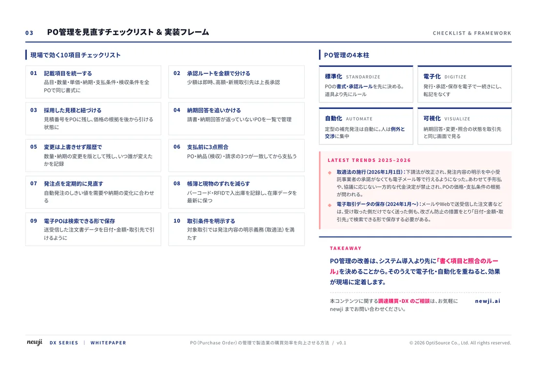
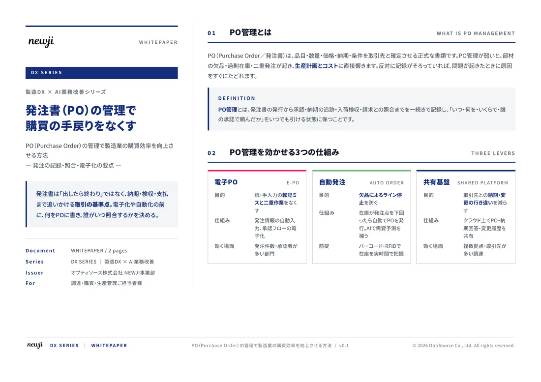
製造業の現場で使える実務資料(PDF)を無料でお届けします。"こんな資料が届きます" ↓ 下のボタンからどうぞ。
FREE DOCUMENT — サービス資料(PDF・無料)
製造業の見積・受発注クラウド
「Newji one」とは
Newji one は、製造業の調達・受発注に特化したクラウド/AIエージェント。見積依頼・発注書作成・進捗管理・承認をひとつの画面に集約し、AIが比較と異常検知を担当。最後の「GO」だけ人が押す仕組みです。
▶ 製造業の見積・受発注クラウド「Newji one」を、資料で見る(PDF・無料)
- 見積〜発注〜納期を一元管理。催促・転記のムダをゼロに
- AIが相見積もり比較と異常検知。あなたは判断だけに集中
- 取引先は「招待」で完全無料。自社コストだけで取引先ごとデジタル化
※ 取引先から招待された企業様は完全無料でご利用いただけます

 NEWJI総研
 OEM/ODM 生産委託
 AI/DX支援
 見積・発注クラウド Newji one
受発注が増えるほど、入力・確認・催促が重くなる。
受発注管理を“仕組み化“して、ミスと工数を削減しませんか。
見積・発注・納期まで一元管理できます。