

- お役立ち記事
- Fundamentals of LiDAR, applications to environmental recognition technology, and the latest technology

Fundamentals of LiDAR, applications to environmental recognition technology, and the latest technology

目次
What is LiDAR?
LiDAR, which stands for Light Detection and Ranging, is a remote sensing technology that uses laser light to measure distances to an object or surface.
This technology works by emitting a laser beam towards a target and measuring the time it takes for the light to bounce back.
The round-trip time is then converted into distance using the speed of light.
LiDAR systems consist of a laser, a scanner, and a specialized GPS receiver.
The laser emits light pulses that hit objects and reflect back to the sensor.
The scanner records the time taken for the laser to return, allowing for precise distance measurements.
With the help of GPS, the system can map terrain and obtain highly accurate 3D models.
Components of LiDAR Systems
LiDAR technology is composed of several critical components, each playing a distinct role in the measurement process.
The main components of LiDAR systems include:
Laser
The laser is the primary component that emits short pulses of light.
The pulses have specific wavelengths, typically in the near-infrared or visible spectrum.
The wavelength chosen depends on the application, with different wavelengths offering various advantages in terms of range and material penetration.
Scanner and Optics
The scanner directs the laser pulses towards the target object and collects the reflected signals.
It can be mounted on different platforms such as planes, drones, or ground vehicles.
Optics are used to focus the laser beam, ensuring accurate targeting and measurement.
GPS Receiver
A specialized GPS receiver is used to determine the precise location of the LiDAR sensor.
This is crucial for creating accurate maps and models, as it provides the reference framework for all the collected data.
The position information, combined with the measured distances, allows for precise 3D mapping.
Data Recorder
The data recorder collects and stores the information obtained by the LiDAR system, including the position data and the distance measurements.
This data is then processed and analyzed to produce detailed maps and models.
Types of LiDAR
There are two main types of LiDAR systems, each suited for different applications:
Aerial LiDAR
Aerial LiDAR is typically mounted on airplanes or drones to capture large-scale terrain data.
It is often used in topography, agriculture, and forestry, enabling accurate mapping over extensive areas.
Aerial LiDAR can penetrate vegetation, making it useful for identifying hidden features beneath tree canopies.
Terrestrial LiDAR
Terrestrial LiDAR is mounted on ground-based vehicles or tripods.
It is used for high-resolution scanning of fixed structures such as buildings, bridges, or roads.
This type of LiDAR is widely used in construction, mining, and infrastructure inspection, providing detailed dimensional data for analysis.
Applications of LiDAR Technology
LiDAR has a wide array of applications across different industries, benefiting from its ability to provide high-resolution and precise data.
Topographic Mapping
One of the primary uses of LiDAR is topographic mapping, where it generates accurate elevation data for terrain analysis.
These maps are critical for environmental studies, urban planning, and construction projects, where topographical changes need to be monitored.
Forestry and Agriculture
In forestry, LiDAR is used to measure tree height and biomass, assess forest structure, and monitor health.
In agriculture, it helps in precision farming by analyzing crop field variability and optimizing resource use, such as water and fertilizers.
Autonomous Vehicles
LiDAR plays a vital role in the development of autonomous vehicles by enabling environmental recognition.
It provides real-time 3D mapping of the surroundings, helping vehicles detect and avoid obstacles, recognize road conditions, and navigate safely.
Archaeology
Archaeologists use LiDAR to explore hidden or buried sites, especially in dense forested areas.
By penetrating vegetation, LiDAR reveals ancient structures and features, aiding in the discovery and preservation of historical sites.
The Latest in LiDAR Technology
LiDAR technology continues to evolve, fueled by advancements in sensor technology, data processing, and machine learning.
Recent developments in LiDAR include:
Solid-state LiDAR
Solid-state LiDAR systems are more compact and durable compared to traditional mechanical systems.
They have fewer moving parts, leading to increased reliability and reduced cost.
These systems are quickly gaining popularity in consumer electronics and automotive applications.
High-definition LiDAR
High-definition LiDAR systems offer improved resolution and range, providing even more detailed and accurate 3D maps.
Such systems are crucial for applications that require fine detail, such as urban mapping and railway inspection.
Real-time Data Processing
Advancements in computational power and machine learning have enabled real-time data processing from LiDAR systems.
This capability is essential for applications like autonomous driving, where immediate decision-making is critical for safety and efficiency.
Conclusion
LiDAR technology is an invaluable tool across various industries due to its high precision and ability to capture detailed 3D information.
From mapping and forestry to autonomous vehicles and archaeology, LiDAR continues to unlock new possibilities and pave the way for innovative solutions.
As technology advances, LiDAR will become even more accessible and versatile, opening up further opportunities for exploration and improvement in environmental recognition and beyond.
この記事の理解を深める
無料ホワイトペーパーをプレゼント
製造業の現場で使える実務資料(PDF)を無料でお届けします。"こんな資料が届きます" ↓ 下のボタンからどうぞ。
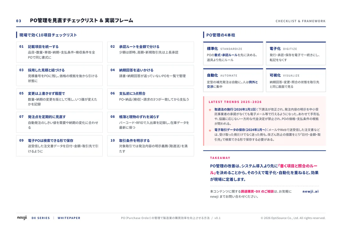
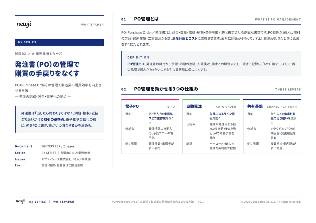
FREE DOCUMENT — サービス資料(PDF・無料)
製造業の見積・受発注クラウド
「Newji one」とは
Newji one は、製造業の調達・受発注に特化したクラウド/AIエージェント。見積依頼・発注書作成・進捗管理・承認をひとつの画面に集約し、AIが比較と異常検知を担当。最後の「GO」だけ人が押す仕組みです。
▶ 製造業の見積・受発注クラウド「Newji one」を、資料で見る(PDF・無料)
- 見積〜発注〜納期を一元管理。催促・転記のムダをゼロに
- AIが相見積もり比較と異常検知。あなたは判断だけに集中
- 取引先は「招待」で完全無料。自社コストだけで取引先ごとデジタル化
※ 取引先から招待された企業様は完全無料でご利用いただけます

 NEWJI総研
 OEM/ODM 生産委託
 AI/DX支援
 見積・発注クラウド Newji one
受発注が増えるほど、入力・確認・催促が重くなる。
受発注管理を“仕組み化“して、ミスと工数を削減しませんか。
見積・発注・納期まで一元管理できます。