

- お役立ち記事
- Basics of LIDAR laser radar and application to surrounding environment recognition technology

その単価は妥当か。
AI が根拠付きで分析。
相見積の比較も発注も進捗管理も、ひとつの画面に。

Basics of LIDAR laser radar and application to surrounding environment recognition technology

LIDAR, which stands for Light Detection and Ranging, is a technology that has been revolutionizing the way we map and interact with the world around us.
It works by using laser light to measure distances, creating precise, high-resolution maps of environments.
LIDAR technology has a wide range of applications, particularly in recognizing and interpreting the surrounding environment, making it an essential tool in various fields like autonomous vehicles, archaeology, forestry, and more.
目次
How LIDAR Works
LIDAR operates by emitting laser pulses towards an object or surface and then measuring the time it takes for the light to return to the sensor.
This time-of-flight calculation allows the system to determine the distance to the object with remarkable accuracy.
A LIDAR device typically consists of a laser, scanner, and a specialized GPS receiver.
When these components work together, they generate rich three-dimensional data about the object’s position and shape.
The basic principle behind LIDAR is similar to sonar or radar, but it uses laser light instead of sound or radio waves.
The light emitted by the LIDAR system is usually in the form of short pulses in the near-infrared range.
As the light bounces back from the surface, it’s captured by the sensor, which then computes and creates real-time 3D models of the terrain.
Applications of LIDAR in Surrounding Environment Recognition
Autonomous Vehicles
One of the most popular applications of LIDAR is in the autonomous vehicle industry.
Self-driving cars use LIDAR technology to sense and interpret their surroundings to drive safely.
It enables vehicles to detect lane markings, identify obstacles, and recognize other vehicles, pedestrians, and traffic signs.
The high resolution and accuracy of LIDAR data are crucial for navigation and collision avoidance, making it a cornerstone of autonomous driving systems.
Urban Planning and Infrastructure
In urban planning and civil engineering, LIDAR is used to create detailed maps and models of cities.
This technology helps planners envision future developments and assess existing infrastructure.
With precise data on the topography, planners can make informed decisions about building placements, road designs, and flood risk management.
LIDAR’s ability to penetrate even through dense foliage is invaluable for assessing land use and planning green spaces.
Environmental Monitoring
LIDAR is extensively used in monitoring various environmental elements.
In forestry, it helps manage forest inventory, measure tree heights, and determine biomass.
LIDAR also aids in mapping and protecting coastal areas by showing how they change over time due to erosion or sea-level rise.
By providing precise elevation data, LIDAR helps in creating detailed floodplain maps, crucial for disaster risk reduction and management.
Archaeology
In the field of archaeology, LIDAR has opened new doors for discovery.
It allows archaeologists to see through dense vegetation and uncover hidden structures or ancient remains that might be invisible to the naked eye.
This non-invasive method is vital for preserving historical sites while still allowing extensive research and exploration.
The Advantages of Using LIDAR Technology
LIDAR technology, compared to traditional surveying methods, offers a host of advantages.
First, it provides exceptionally high accuracy and resolution, essential for detailed mapping and analysis.
LIDAR systems are also efficient, capable of covering large areas quickly, which is significantly beneficial for projects like forestry surveys or urban mapping.
Moreover, LIDAR’s ability to work in low-light conditions allows it to operate seamlessly at night, unlike methods that rely on natural light.
Traditional photographic surveys can be limited by weather conditions, but LIDAR’s laser can penetrate through cloud cover and fog, making it a versatile tool for various applications.
Challenges and Limitations of LIDAR
Despite its benefits, LIDAR technology comes with some challenges and limitations.
One of the primary challenges is the high cost associated with LIDAR systems.
This can limit their availability, especially for small-scale projects or developing regions.
Another limitation is data processing.
LIDAR generates vast amounts of data, requiring substantial storage and sophisticated software to process and interpret.
Handling this data can be resource-intensive and requires skilled personnel, which can further increase costs.
Additionally, LIDAR operates most efficiently in areas without obstructions like trees or buildings.
While it can penetrate foliage to some extent, dense cover can still hinder its ability to capture accurate data.
Similarly, surfaces that are highly reflective or absorbent can distort the results, affecting the overall accuracy of the measurements.
The Future of LIDAR Technology
As technology advances, LIDAR systems are becoming more compact, cost-effective, and user-friendly.
Advancements in sensor technology and data processing are making LIDAR more accessible and practical for everyday applications.
Integration with AI and machine learning further enhances LIDAR’s capability in recognition tasks, contributing to more reliable autonomous systems.
In the automotive industry, for instance, manufacturers are striving to create more affordable LIDAR sensors to fit standard vehicles, broadening their use beyond luxury autonomous models.
As research and development continue, we can expect LIDAR to find new and exciting applications, further cementing its role as an indispensable tool for environmental recognition and beyond.
In conclusion, LIDAR is transforming our ability to interact with and understand our surroundings effectively.
Its precision and versatility offer unparalleled opportunities across various industries and fields.
As technology continues to evolve, the potential for LIDAR’s application will only continue to grow, opening up a world of possibilities for future innovation.
この記事の理解を深める
無料ホワイトペーパーをプレゼント
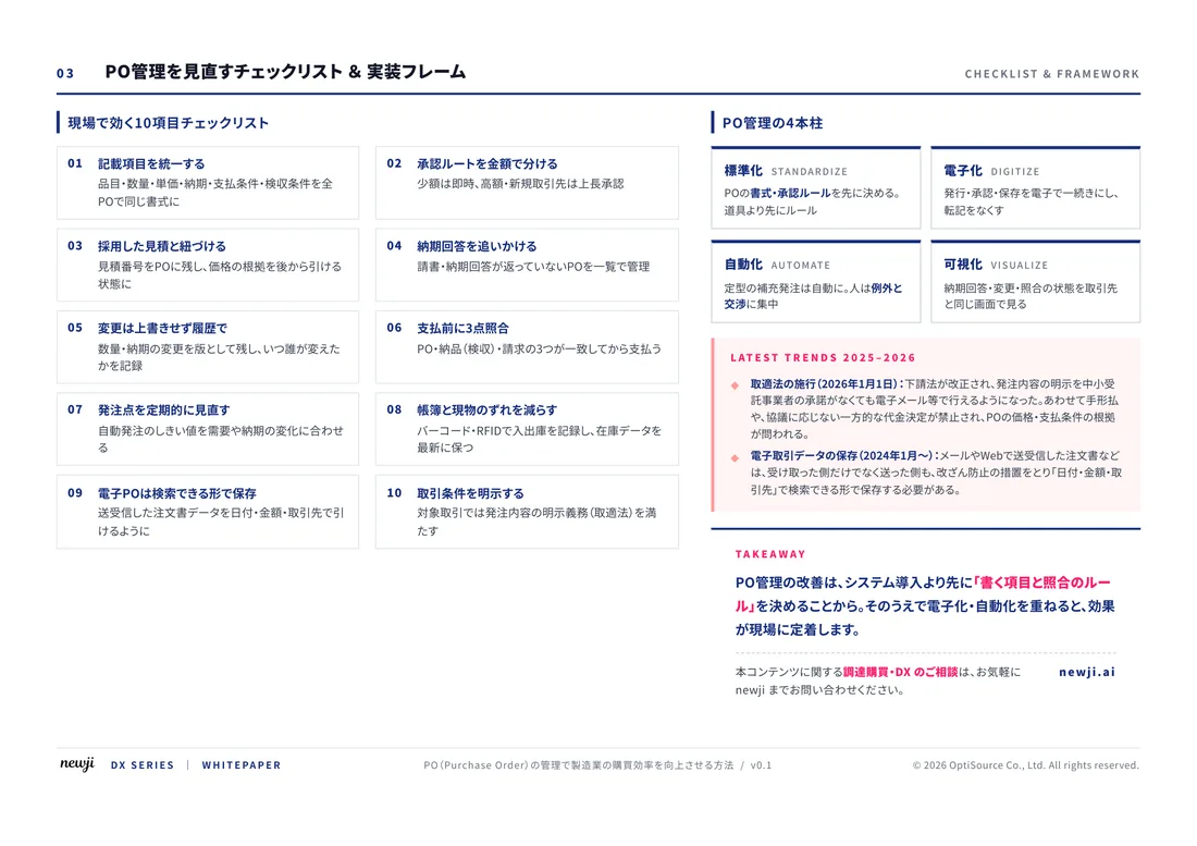
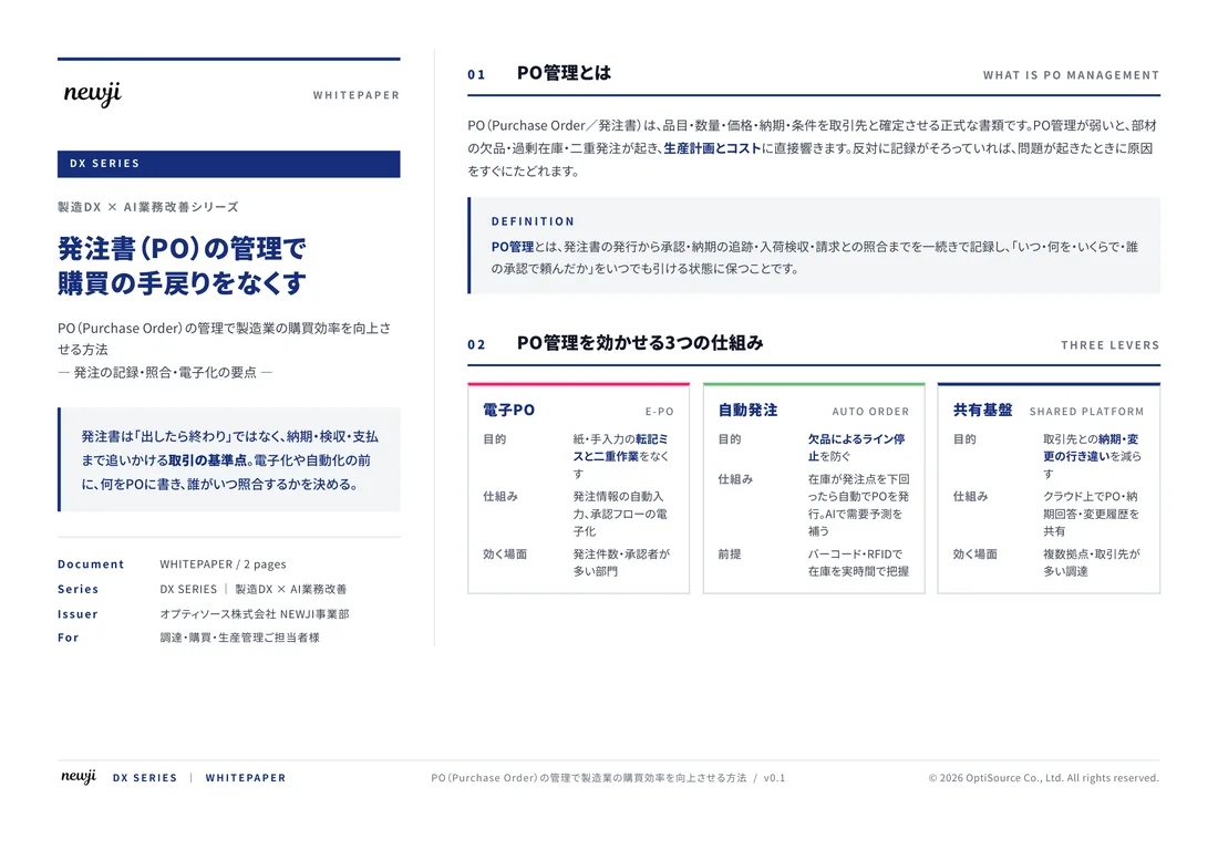
製造業の現場で使える実務資料(PDF)を無料でお届けします。"こんな資料が届きます" ↓ 下のボタンからどうぞ。
FREE DOCUMENT — サービス資料(PDF・無料)
製造業の見積・受発注クラウド
「Newji one」とは
Newji one は、製造業の調達・受発注に特化したクラウド/AIエージェント。見積依頼・発注書作成・進捗管理・承認をひとつの画面に集約し、AIが比較と異常検知を担当。最後の「GO」だけ人が押す仕組みです。
▶ 製造業の見積・受発注クラウド「Newji one」を、資料で見る(PDF・無料)
- 見積〜発注〜納期を一元管理。催促・転記のムダをゼロに
- AIが相見積もり比較と異常検知。あなたは判断だけに集中
- 取引先は「招待」で完全無料。自社コストだけで取引先ごとデジタル化
※ 取引先から招待された企業様は完全無料でご利用いただけます

 NEWJI総研
 OEM/ODM 生産委託
 AI/DX支援
 見積・発注クラウド Newji one
受発注が増えるほど、入力・確認・催促が重くなる。
受発注管理を“仕組み化“して、ミスと工数を削減しませんか。
見積・発注・納期まで一元管理できます。