

- お役立ち記事
- Fundamentals of LiDAR for 3D sensing and application to surrounding environment recognition

Fundamentals of LiDAR for 3D sensing and application to surrounding environment recognition

目次
Understanding LiDAR Technology
Light Detection and Ranging, commonly known as LiDAR, is a remote sensing technology that uses laser light to measure distances to a target.
This technology can generate precise, three-dimensional information about the shape and surface characteristics of objects.
LiDAR achieves this by emitting a laser beam towards an object and measuring the time it takes for the light to return to the sensor after reflecting off the object.
This time-of-flight measurement is used to calculate the distance between the sensor and the object.
By scanning an area with multiple pulses, LiDAR systems can create highly detailed maps and models of the environment.
The Components of LiDAR Systems
LiDAR systems generally consist of several key components that work together to provide accurate measurements and 3D mapping capabilities.
Laser
The laser is the core of the LiDAR system.
It emits the pulses of light that are sent towards the target.
These lasers can operate at different wavelengths depending on the application, with near-infrared and green light being common for many environmental studies.
Scanner
The scanner is responsible for directing the laser pulses across the survey area.
By rapidly spinning or oscillating, the scanner ensures that the laser covers a wide field of view, allowing for comprehensive data collection of the environment.
GPS Receiver
A GPS receiver is crucial for georeferencing the location of the LiDAR measurements.
It provides accurate positioning information so that every data point collected by the sensor can be precisely placed in a global coordinate system.
IMU (Inertial Measurement Unit)
The IMU helps to capture the orientation of the LiDAR system during operation.
It records the roll, pitch, and yaw, ensuring that the data is accurately corrected for any movement of the sensing platform, whether it’s airborne or terrestrial.
LiDAR Applications in 3D Sensing
LiDAR’s ability to capture high-resolution, three-dimensional data has led to its widespread use across multiple industries and applications.
Autonomous Vehicles
One of the most prominent applications of LiDAR is in autonomous vehicles.
These systems rely heavily on LiDAR for real-time environment recognition and navigation.
By continuously scanning the surroundings, LiDAR can detect obstacles, lane markings, and other critical features necessary for safe driving.
Agriculture
In agriculture, LiDAR technology aids in creating detailed topographic maps and assessing crop health.
Farmers use these insights for precision farming, optimizing irrigation, and improving crop yields by understanding soil conditions and terrain variations.
Forestry
LiDAR contributes significantly to forestry management.
It helps in assessing forest structure, monitoring tree growth, and estimating biomass.
Foresters can use this data to manage carbon storage, analyze habitat suitability, and ensure sustainable forestry practices.
Urban Planning
Urban planners use LiDAR to develop accurate models of urban environments, assisting in infrastructure development, flood-risk assessment, and planning greenspaces.
LiDAR data helps cities improve land-use planning and manage resources more efficiently.
Challenges in LiDAR Implementation
Despite its advantages, LiDAR technology can face several challenges that impact its performance and accuracy.
Weather Conditions
Adverse weather conditions, such as heavy rain, fog, and snow, can reduce the effectiveness of LiDAR systems.
The laser beams can be scattered or absorbed by particles in the air, leading to degraded accuracy in the measurements.
Surface Reflectivity
LiDAR’s accuracy can be affected by the reflectivity of surfaces it scans.
Highly reflective surfaces like water can pose problems, as they may reflect too much of the laser light, while very dark surfaces may not reflect enough, leading to incomplete data.
Cost
The cost of LiDAR systems can be a barrier for some applications.
While the technology has become more affordable over time, the initial investment for high-resolution systems and associated data processing can still be substantial.
The Future of LiDAR Technology
As technology continues to evolve, the future of LiDAR looks promising with advancements in several areas.
Miniaturization and Integration
Developments in micro-electromechanical systems (MEMS) are leading to smaller and more affordable LiDAR sensors.
This miniaturization will enable easier integration into compact and portable devices, expanding the scope of applications.
Artificial Intelligence and Machine Learning
Combining LiDAR data with AI and machine learning algorithms can enhance data processing and analysis.
These technologies can identify patterns and anomalies faster, improving decision-making in real-time applications.
Increased Resolution
Future advancements in LiDAR systems may provide even higher resolution and accuracy, increasing the utility of LiDAR in applications requiring detailed analysis, such as cultural heritage preservation and search and rescue operations.
LiDAR technology presents an exciting frontier in 3D sensing, capable of transforming how we interact with and understand our environment.
As its applications continue to expand across industries, mastering LiDAR fundamentals will be crucial for leveraging its full potential.
この記事の理解を深める
無料ホワイトペーパーをプレゼント
製造業の現場で使える実務資料(PDF)を無料でお届けします。"こんな資料が届きます" ↓ 下のボタンからどうぞ。
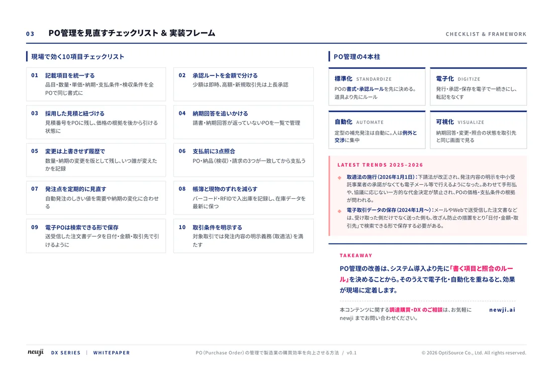
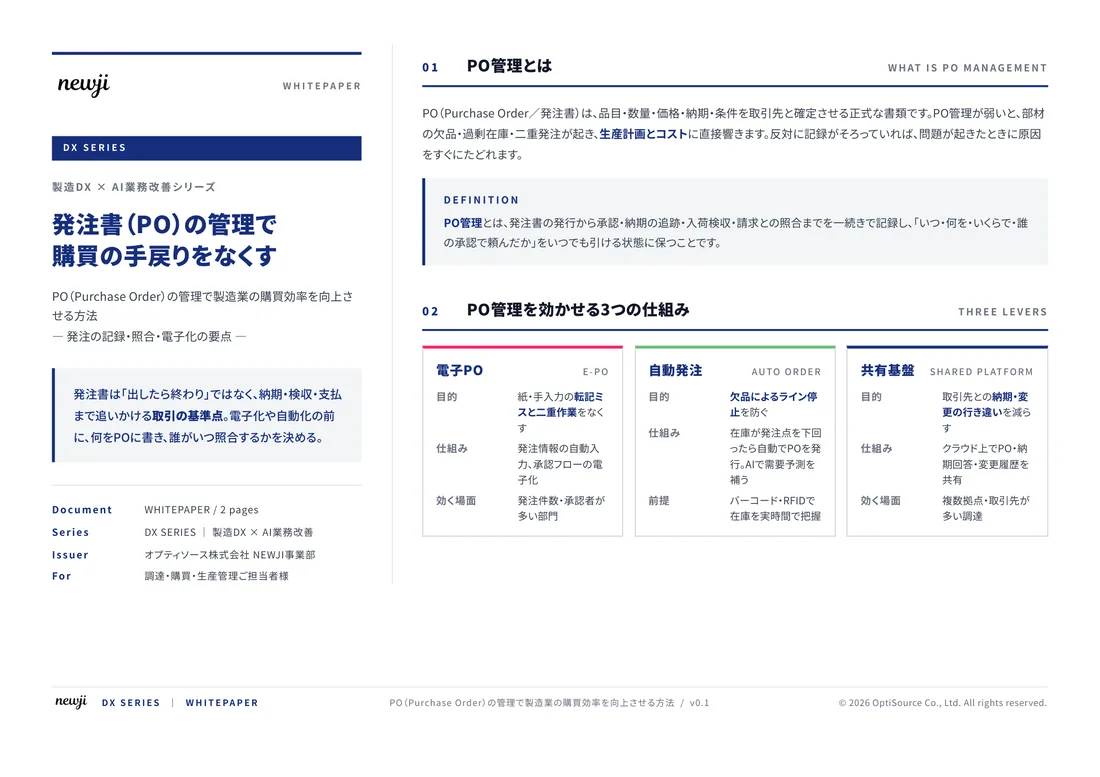
FREE DOCUMENT — サービス資料(PDF・無料)
製造業の見積・受発注クラウド
「Newji one」とは
Newji one は、製造業の調達・受発注に特化したクラウド/AIエージェント。見積依頼・発注書作成・進捗管理・承認をひとつの画面に集約し、AIが比較と異常検知を担当。最後の「GO」だけ人が押す仕組みです。
▶ 製造業の見積・受発注クラウド「Newji one」を、資料で見る(PDF・無料)
- 見積〜発注〜納期を一元管理。催促・転記のムダをゼロに
- AIが相見積もり比較と異常検知。あなたは判断だけに集中
- 取引先は「招待」で完全無料。自社コストだけで取引先ごとデジタル化
※ 取引先から招待された企業様は完全無料でご利用いただけます

 NEWJI総研
 OEM/ODM 生産委託
 AI/DX支援
 見積・発注クラウド Newji one
受発注が増えるほど、入力・確認・催促が重くなる。
受発注管理を“仕組み化“して、ミスと工数を削減しませんか。
見積・発注・納期まで一元管理できます。