
- お役立ち記事
- Latest measurement workflow for rapid generation of practical 3D models from UAV images
スタートアップから大手まで。
調達・受発注をAIで標準化。
相見積比較も進捗管理もAIが下支え。取引先は招待で完全無料。

Latest measurement workflow for rapid generation of practical 3D models from UAV images

目次
Introduction to 3D Models from UAV Images
In recent years, the use of Unmanned Aerial Vehicles (UAVs), commonly known as drones, has revolutionized the field of 3D modeling.
Drones are equipped with high-resolution cameras, which enable them to capture detailed images from the skies above.
These images can then be converted into practical 3D models using advanced software.
This process has numerous applications, from surveying land for construction projects to monitoring environmental changes.
The Importance of Rapid 3D Model Generation
As technology advances, the demand for quicker and more efficient methods of generating 3D models has increased.
Rapid 3D model generation allows for swift decision-making and enhances the overall workflow in various industries.
Whether it’s for urban planning, geological surveys, or conservation efforts, having a fast and reliable method of creating 3D models can significantly streamline operations.
Understanding the Measurement Workflow
The measurement workflow for generating 3D models from UAV images involves several key steps.
Understanding these steps is crucial to producing accurate and useful models.
Image Capture
The first step in the process is image capture.
UAVs are deployed over the area of interest to capture high-resolution images.
The quality of these images plays a crucial role in the accuracy of the final 3D model.
It’s important to ensure that the drone’s flight path covers the entire area comprehensively to avoid any gaps in data.
Data Processing
Once images are captured, they undergo a data processing phase.
Specialized software is used to stitch together the individual images into a coherent dataset.
This phase also involves georeferencing, which ties the images to real-world coordinates, a vital step for accurate measurements and analysis.
3D Model Generation
After data processing, the next step is 3D model generation.
The processed images are used to create a detailed and interactive 3D representation of the surveyed area.
The model can then be examined and manipulated to gather valuable insights and measurements.
Technological Advancements in 3D Model Generation
The field of 3D modeling has benefited greatly from technological advancements, particularly in software development and machine learning.
These advancements have improved both the speed and accuracy of 3D model generation, making the process more efficient than ever before.
Machine Learning and Automation
Machine learning algorithms have been integrated into the software used for creating 3D models.
These algorithms help automate repetitive tasks, allowing for quicker data processing and model generation.
By leveraging AI, the software can identify patterns and optimize the workflow, enhancing the overall speed and precision of the process.
Improved Software Capabilities
The software used in 3D modeling has seen significant improvements in recent years.
User-friendly interfaces and advanced features have made it easier for professionals and beginners alike to generate high-quality models.
Real-time processing capabilities allow users to make adjustments on-the-fly, which is particularly beneficial in fieldwork environments.
Applications of 3D Models from UAV Images
3D models generated from UAV images have a wide range of applications across various industries.
These models provide valuable insights and data that are utilized for decision-making and project planning.
Construction and Urban Planning
In the construction industry, 3D models are used for planning new developments, assessing existing structures, and managing construction sites.
Accurate models allow engineers and architects to visualize projects from different angles and ensure everything is on track.
Environmental Monitoring
For environmental scientists and conservationists, UAV-generated 3D models offer a means to monitor landscapes and ecosystems.
These models can track changes over time, providing crucial data for efforts in conservation and climate change mitigation.
Agricultural Applications
Farmers and agronomists use 3D models for precision agriculture.
These models help optimize irrigation, monitor crop health, and even predict yields, ultimately leading to more efficient and sustainable farming practices.
Challenges in the Workflow
While there have been many advancements, challenges in the 3D modeling workflow still persist.
Addressing these challenges is necessary to fully utilize the potential of 3D models in various industries.
Data Quality and Accuracy
Ensuring data quality and accuracy remains a primary concern.
Poor-quality images can lead to inaccurate models, which in turn can result in flawed analyses and decision-making.
It’s crucial to maintain high standards in image capture and processing to ensure reliable outcomes.
Processing and Storage
The large volume of data generated during the modeling process presents challenges in processing and storage.
Efficient data management systems are necessary to handle and archive this data without losing valuable information.
Conclusion
The latest measurement workflows for rapid generation of 3D models from UAV images have transformed several sectors by enhancing the efficiency and accuracy of model creation.
Despite challenges such as data quality and storage, technological advancements continue to drive the field forward.
As these technologies evolve, the possibilities for their application will expand, offering even more benefits to industries worldwide.
この記事の理解を深める
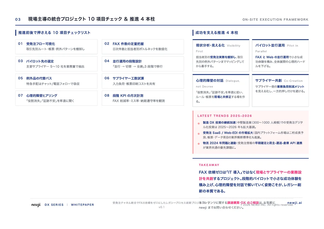
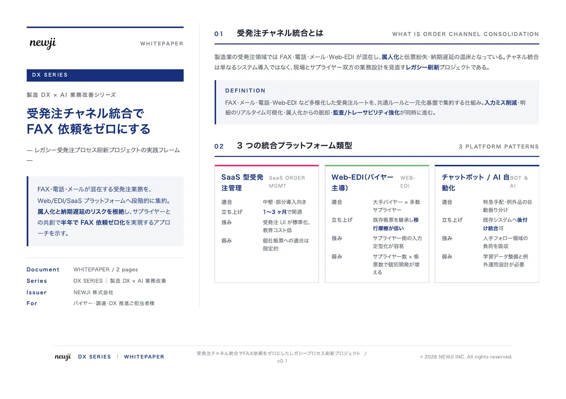
無料ホワイトペーパーをプレゼント
製造業の現場で使える実務資料(PDF)を無料でお届けします。"こんな資料が届きます" ↓ 下のボタンからどうぞ。
PRODUCT — 製造業向け 調達・受発注クラウド
この記事の課題、
newji で解決しませんか?
newji は、製造業の調達・受発注に特化したクラウド/AIエージェント。見積依頼・発注書作成・進捗管理・承認をひとつの画面に集約し、AIが比較と異常検知を担当。最後の「GO」だけ人が押す仕組みです。
- 見積〜発注〜納期を一元管理。催促・転記のムダをゼロに
- AIが相見積もり比較と異常検知。あなたは判断だけに集中
- 取引先は「招待」で完全無料。自社コストだけで取引先ごとデジタル化
※ 取引先から招待された企業様は完全無料でご利用いただけます

 調達購買アウトソーシング
 OEM/ODM 生産委託
 NEWJI DX
 受発注AIエージェント