

- お役立ち記事
- Visual SLAM application fields and processing flow

その単価は妥当か。
AI が根拠付きで分析。
相見積の比較も発注も進捗管理も、ひとつの画面に。

Visual SLAM application fields and processing flow

目次
What is Visual SLAM?
Visual SLAM, or Visual Simultaneous Localization and Mapping, is a technology used by robots and other devices to understand their surroundings using visual data.
It uses cameras to collect images of the environment and then processes these images to map and navigate through unfamiliar areas without human guidance.
Visual SLAM combines computer vision with the principles of geometry to interpret the three-dimensional world, locating the device’s position within it.
How Visual SLAM Works
The core of Visual SLAM involves capturing visual data and analyzing it to build a spatial map.
This is achieved through a series of steps:
1. **Feature Detection:** The system identifies unique points within the environment captured through the camera.
These features could be corners, edges, or any other distinguishable elements.
2. **Feature Matching:** Once features are detected, the system matches these with features in other frames of the visual data to establish correspondence.
3. **Pose Estimation:** Through geometric transformations, Visual SLAM estimates the camera’s position and orientation in relation to the environment.
4. **Map Construction:** The system accumulates data from various frames to create a detailed map, which it adjusts continuously as it receives new information.
5. **Loop Closure:** This is a validation step where the system confirms its position by recognizing previously visited areas, correcting any drift or errors that occur over time.
Applications of Visual SLAM
Visual SLAM has a wide range of applications spanning various fields.
Here are some key areas where it is making a significant impact:
Robotics
Robots equipped with Visual SLAM can navigate complex environments autonomously.
This technology enables them to move efficiently, avoiding obstacles and optimizing their paths in real-time, which is crucial for tasks like warehouse logistics, delivery services, and domestic chores.
Augmented Reality (AR)
Visual SLAM is instrumental in AR, helping devices understand and overlay digital content onto the physical world.
By ensuring accurate positioning and environmental interaction, users experience realistic and responsive AR applications, improving gaming, education, and professional training solutions.
Autonomous Vehicles
For autonomous vehicles, Visual SLAM complements other navigation sensors like LiDAR and GPS, enhancing their ability to map and navigate the vehicular path accurately.
It helps vehicles recognize road patterns, obstacles, signs, and other critical driving elements.
Drone Navigation
Drones utilize Visual SLAM for precise position tracking and mapping from aerial perspectives.
This application is vital for tasks such as environmental monitoring, photography, and emergency response, where GPS might be less reliable or unavailable.
Processing Flow of Visual SLAM
Understanding the processing flow of Visual SLAM involves a step-by-step breakdown of how it functions from start to finish.
Initialization
The process begins with the system booting up and calibrating its sensors.
This includes adjusting the camera and other inputs to ensure accurate data collection.
Initialization may involve manually positioning the device or automatic routines that determine initial settings.
Data Acquisition
Here, the device collects visual data using its camera.
Depending on the application, data can be 2D images or 3D point clouds.
The acquisition process is continuous, feeding the system with real-time visual information.
Feature Extraction and Matching
The system identifies significant features within the visual input and matches these across successive frames.
This ensures consistency in tracking and aids in identifying previously unexplored areas.
Pose Estimation and Localization
Using the matched features, Visual SLAM calculates the device’s position and orientation.
Algorithms like bundle adjustment and pose graph optimization assist in refining these calculations, reducing errors and drift.
Mapping and Updating
With localization achieved, the system constructs a spatial map of the environment.
This map is updated continuously with new information as the device explores further.
Through both local and global optimization techniques, the map remains accurate and reliable over time.
Loop Closure Detection
To eliminate drift errors and ensure accuracy, the system periodically verifies its position by recognizing previously mapped areas.
This step involves sophisticated algorithms that reconcile any discrepancies between the new data and the existing map.
Challenges and Future of Visual SLAM
While Visual SLAM has made significant strides, it faces challenges such as improving accuracy in dynamic or visually repetitive environments and reducing computational power requirements.
Improvements in algorithms and processing capabilities will enhance its performance, particularly for real-time applications.
Developing solutions for complex indoor environments, alongside integrating machine learning for improved feature detection, will propel Visual SLAM technology forward.
As researchers and engineers continue to innovate, the future of Visual SLAM promises new possibilities in robotics, AR, autonomous vehicles, and beyond.
この記事の理解を深める
無料ホワイトペーパーをプレゼント
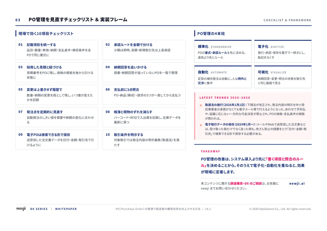
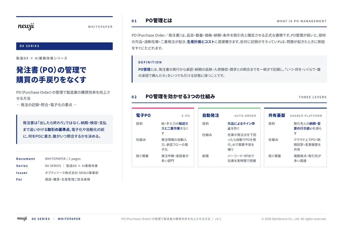
製造業の現場で使える実務資料(PDF)を無料でお届けします。"こんな資料が届きます" ↓ 下のボタンからどうぞ。
FREE DOCUMENT — サービス資料(PDF・無料)
製造業の見積・受発注クラウド
「Newji one」とは
Newji one は、製造業の調達・受発注に特化したクラウド/AIエージェント。見積依頼・発注書作成・進捗管理・承認をひとつの画面に集約し、AIが比較と異常検知を担当。最後の「GO」だけ人が押す仕組みです。
▶ 製造業の見積・受発注クラウド「Newji one」を、資料で見る(PDF・無料)
- 見積〜発注〜納期を一元管理。催促・転記のムダをゼロに
- AIが相見積もり比較と異常検知。あなたは判断だけに集中
- 取引先は「招待」で完全無料。自社コストだけで取引先ごとデジタル化
※ 取引先から招待された企業様は完全無料でご利用いただけます

 NEWJI総研
 OEM/ODM 生産委託
 AI/DX支援
 見積・発注クラウド Newji one
受発注が増えるほど、入力・確認・催促が重くなる。
受発注管理を“仕組み化“して、ミスと工数を削減しませんか。
見積・発注・納期まで一元管理できます。