

- お役立ち記事
- Proposal of a simple technology to improve the efficiency of lot line drawing work

Proposal of a simple technology to improve the efficiency of lot line drawing work

目次
Understanding Lot Line Drawing
Lot line drawing is a critical aspect of land development and urban planning.
It is the process of delineating property boundaries to define parcels of land for various purposes, such as construction, landscaping, or zoning.
This task is essential for ensuring that land use is optimized and compliant with regulations.
The efficiency of lot line drawing directly impacts the time and cost involved in land development projects.
As urbanization continues to accelerate, the demand for faster and more precise lot line drawing increases.
Improving the efficiency of this process can lead to substantial benefits for developers, city planners, and ultimately, the communities they serve.
Challenges in Lot Line Drawing
Traditional lot line drawing involves significant manual work.
Surveyors typically need to visit the site, use tools for measurements, and work with existing maps to establish boundaries.
This manual approach is not only time-consuming but also fraught with potential errors due to human factors or outdated resources.
Another challenge is the complexity of dealing with varied terrains and existing land features.
Each plot may have unique characteristics that necessitate careful consideration during the delineation process.
The manual adjustments required for these varied scenarios can slow down the process considerably.
Additionally, the integration of new technological advancements into conventional methods can be cumbersome.
Surveyors and planners often rely on legacy systems that may not be compatible with new, more efficient tools.
This friction results in inefficiencies and limits the potential for technological advancements to improve the drawing process.
Proposal of Simple Technology for Efficiency
To address the inefficiencies in lot line drawing, we can consider leveraging a combination of technologies that streamline operations and reduce errors.
Embracing these technologies can transform the lot line drawing process, making it quicker and more accurate.
Use of Drones for Aerial Surveys
Incorporating drones in the lot line drawing process can significantly cut down the time needed for site surveys.
Drones can quickly capture high-resolution aerial images and geographical data, providing a comprehensive overview of the site’s layout.
This data can then be analyzed to define lot lines with better precision.
Drone surveys also minimize the need for surveyors to navigate difficult terrains on foot, which can be time-intensive and potentially hazardous.
With the ability to provide detailed topographical maps, drones enable planners to visualize and plan more effectively.
This technology presents an opportunity to revolutionize the initial stages of the lot line drawing process.
Integration of Geographic Information Systems (GIS)
GIS technology presents a powerful tool for improving the efficiency of lot line drawing.
It allows the layering of various data sets, such as existing infrastructure, vegetation, and land features, onto a single map.
GIS provides a detailed digital view of the land, enhancing accuracy in boundary delineation.
With GIS, planners can easily manipulate data to account for environmental constraints, zoning laws, and proposed developments.
This results in a more comprehensive understanding of the site and aids in making informed decisions about boundary placements.
Integrating this technology can bridge the gap between field data collection and digital mapping, streamlining the entire process.
Automated Lot Line Generation Software
Software solutions that automate the generation of lot lines can be crucial to improving efficiency.
These systems utilize algorithms to process geographical data and create optimal lot divisions based on pre-set parameters, such as minimum lot size or specific zoning requirements.
Automation reduces the reliance on manual calculations and reduces human error.
It also allows for the quick generation of multiple lot layout scenarios, giving planners the flexibility to choose the most suitable option for the project’s aims.
The use of such software expedites the planning process and enhances accuracy, resulting in a more efficient output.
Benefits of Improved Lot Line Drawing
By adopting these simple technologies, the efficiency of lot line drawing can be significantly enhanced.
The benefits stretch beyond mere time-saving; they also include improvements in precision, cost savings, and project scalability.
Faster and more accurate lot delineation means projects can move from planning to execution stages quicker, reducing overall timelines.
This speed can result in cost savings on labor and operational expenses.
Moreover, with technology-assisted accuracy, the margin for error decreases, which minimizes costly corrections in later stages.
Utilizing these technological advancements also allows for scalable solutions.
As urban development projects become more ambitious in scope, the ability to efficiently adapt to larger and more complex sites is invaluable.
These technologies can handle diverse terrains and settings, making them suitable for a wide range of projects.
Encouraging Adoption and Innovation
To facilitate the transition to these technologies, it’s essential to encourage industry-wide adoption.
Training and development programs can equip professionals with the skills needed to utilize these tools effectively.
Additionally, government and regulatory bodies can play a supportive role by establishing standards and guidelines that promote the integration of technology in lot line drawing.
Ongoing innovation is necessary for continuous improvement.
As technologies evolve, they should be assessed and optimized to ensure they meet the evolving needs of urban planning and development.
Encouraging a culture of innovation within the industry will help sustain progress and efficiency improvements in the long term.
In conclusion, the proposal of simple but effective technologies in lot line drawing presents an opportunity to enhance the efficiency of urban development projects.
By integrating drones, GIS, and automated software, we can ensure more accurate, timely, and cost-effective processes.
These advancements not only benefit the planners and developers but ultimately serve the communities by supporting sustainable and well-organized urban growth.
この記事の理解を深める
無料ホワイトペーパーをプレゼント
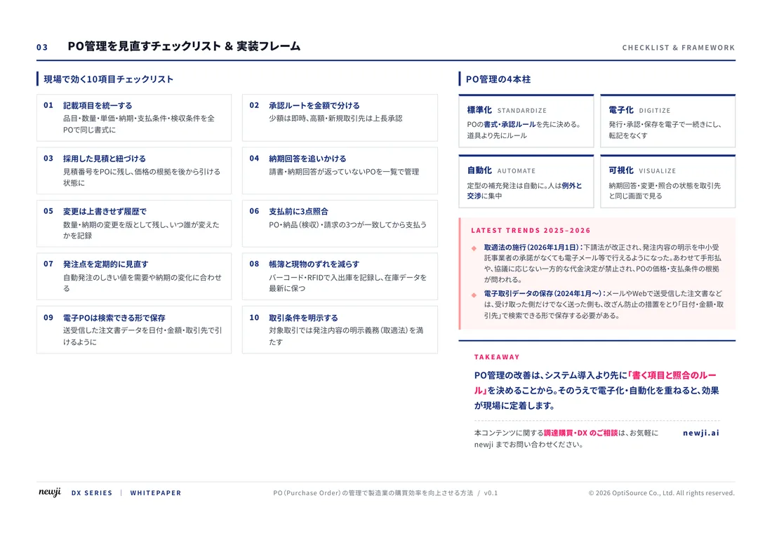
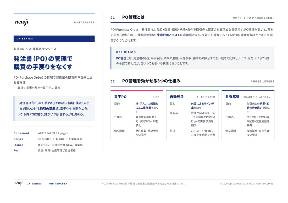
製造業の現場で使える実務資料(PDF)を無料でお届けします。"こんな資料が届きます" ↓ 下のボタンからどうぞ。
FREE DOCUMENT — サービス資料(PDF・無料)
製造業の見積・受発注クラウド
「Newji one」とは
Newji one は、製造業の調達・受発注に特化したクラウド/AIエージェント。見積依頼・発注書作成・進捗管理・承認をひとつの画面に集約し、AIが比較と異常検知を担当。最後の「GO」だけ人が押す仕組みです。
▶ 製造業の見積・受発注クラウド「Newji one」を、資料で見る(PDF・無料)
- 見積〜発注〜納期を一元管理。催促・転記のムダをゼロに
- AIが相見積もり比較と異常検知。あなたは判断だけに集中
- 取引先は「招待」で完全無料。自社コストだけで取引先ごとデジタル化
※ 取引先から招待された企業様は完全無料でご利用いただけます

 NEWJI総研
 OEM/ODM 生産委託
 AI/DX支援
 見積・発注クラウド Newji one
受発注が増えるほど、入力・確認・催促が重くなる。
受発注管理を“仕組み化“して、ミスと工数を削減しませんか。
見積・発注・納期まで一元管理できます。